ISRO To Use Green Fuel For Its Rockets , Electric Propulsion For Satellites

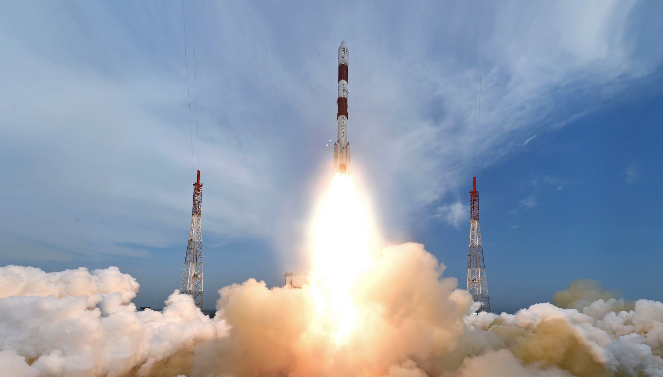
 Indian Space Research Organisation (ISRO) is working to power its rockets and satellites using non-hazardous and environment-friendly fuels. In addition, the Indian space agency is also aiming to use electric propulsion for its satellites, as has been confirmed by the ISRO Chairman recently.See the source image

"Since humans will be inside the rocket, we want only non-hazardous fuel and not the hazardous one to power the human space mission's Gaganyaan rocket," ISRO chief K Sivan told IANS.

For this, ISRO has decided to make use of hydrogen peroxide in its future rockets that will be a part of the missions like 'Gaganyaan'. The hydrogen peroxide can be used as a mono-propellant or as a bi-propellant along with ethanol.

In addition to hydrogen peroxide, ISRO is also looking at another green fuel - LOX/Methane. This would constitute liquid oxygen which will work as oxidiser while the methane will work as fuel.

See the source image

As per the space agency, LOX/Methane propellant is better than the existing propellants in terms of efficiency, storability, toxicity, as well as the cost. "One month back, we tested the LOX/Methane engine and the results were good," Sivan said.

As an alternative to conventional hydrazine rocket fuel, ISRO has also developed ISROSENE, a rocket-grade version of kerosene. Sivan said that ISRO is looking to use such clean fuels for both its liquid engine fuels as well as the solid fuel-fired engines.

As for its satellites, the space agency plans to try out electrical propulsion instead of chemical fuel. Sivan said that since such a system is lighter, it would help bring down the total satellite weight. This would in turn require less power on a rocket to put the satellite into space.

Comments

Popular posts from this blog

Indian Regional Navigation Satellite System (IRNSS) : NavIC

IRNSS is an independent regional navigation satellite system being developed by India. It is designed to provide accurate position information service to users in India as well as the region extending up to 1500 km from its boundary, which is its primary service area. An Extended Service Area lies between primary service area and area enclosed by the rectangle from Latitude 30 deg South to 50 deg North, Longitude 30 deg East to 130 deg East. IRNSS will provide two types of services, namely, Standard Positioning Service (SPS) which is provided to all the users and Restricted Service (RS), which is an encrypted service provided only to the authorised users. The IRNSS System is expected to provide a position accuracy of better than 20 m in the primary service area. Some applications of IRNSS are: Terrestrial, Aerial and Marine Navigation Disaster Management Vehicle tracking and fleet management Integration with mobile phones Precise Timing Mapping and Geodetic data capture Terrestrial nav

10 Free Website Builders:

  1.  Webnode  – Modern Editor with Some Limitations A short while ago Webnode completely revamped their editor, making it very modern. The themes they added are stylish and responsive. A pity you can’t choose a completely new theme after your initial choice. Working with Webnode is very intuitive and also here (surprise) you have the option of upgrading to a paid plan. Webnode offers a low-cost variant at $3.95 per month (which they fittingly call  Limited ) essentially allowing you to use a domain name you already own and to contact their premium support. The small ad will stay with this option. Unfortunately, there is no ecommerce option in the free plan and also the blog is very basic. 2.  Wix  – The International Heavyweight The biggest of them all is Wix. They have more users than any other site builder and it’s easy to see why. It’s packed with unique features and great templates. According to  our tests , it’s the best choice to create a  paid  site – but what about a free one?

NASA Mars Flight

he helicopter will rise for about six seconds, hover and rotate for about 30 seconds, then go back down. The flight will be autonomous, pre-programmed into the aircraft because of the 15 minutes it takes for signals to travel from Earth to Mars. Ingenuity itself will analyze its position with respect to the Martian surface. After the flight, Ingenuity will send Perseverance technical data on what it has done, and that information will be transmitted back to Earth. This will include a black and white photo of the Martian surface that Ingenuity is programmed to snap while flying. Later, once its batteries have charged up again, Ingenuity is to transmit another photo -- in color, of the Martian horizon, taken with a different camera. But the most spectacular images are supposed to come from the rover Perseverance, which will film the flight from a few meters away. Shortly after this filming, six videos of 2.5 seconds each will be sent to Earth. NASA hopes at least one of them will show th